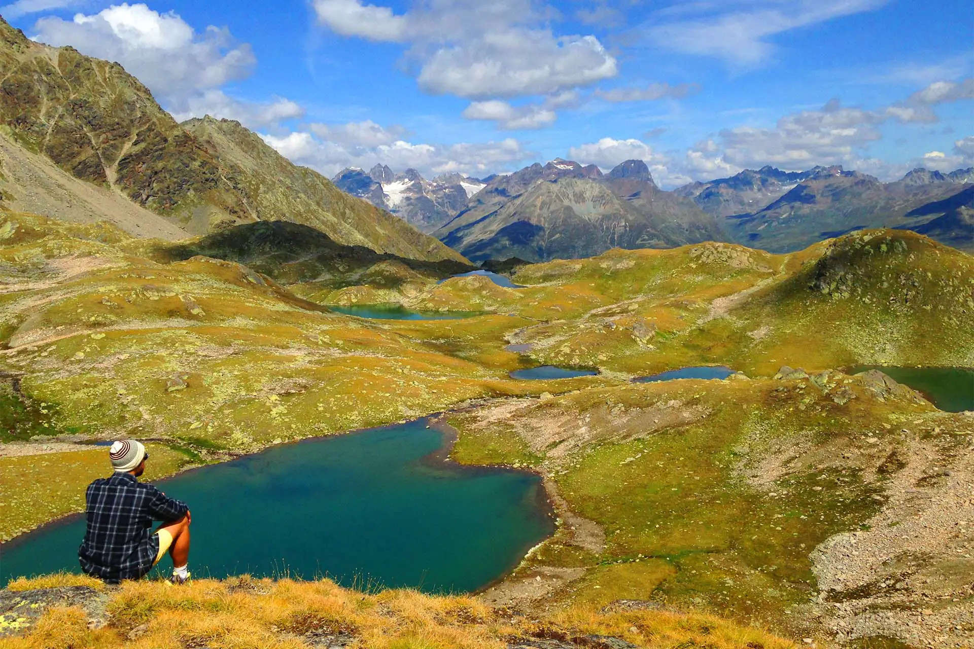
Two lakes, six glaciers, endless moraines and a breathtaking panorama. The Lake Oeschinen hike leads from Griesalp via Bundalp – Blüemlisalphütte to Lake Oeschinen and to Kandersteg.
Text and pictures by Marc Gottwald
Lake Oeschinen Hike in a nutshell
- – Steepest post bus route in Europe when driving to Griesalp (beautiful and also recommended as a hike!)
- – Allow about 10 hours for breaks (26km and 3100 meters in altitude), often done in two days (overnight stay at the Blüemlisalphütte)
- – Take enough water with you (there is no fountain with drinking water, bottle of 1.5L mineral water costs 13 francs at the Blüemlisalphütte)
- – Overnight stay in the SAC hut ” Blüemlisalphütte ” possible (make a reservation in advance, usually fully booked when the weather is nice!)
- – The route is accessible from mid-July to the end of September and is part of the “Via Alpina” (information here)
Condition: very difficult; Technique: Difficult; Duration: 8-10 hours (can be divided into two days)
The steepest post bus route in Europe
Did i hear right?
The steepest post bus route in Europe.
Indeed! And just for this trip alone, a trip to the Kandertal is worthwhile. But of course we are here for the hike. This «Via Alpina» route is quite tough.
The starting point is the Reichenbach train station in Kandertal, where you take the post bus towards Griesalp. The route that begins after Tschingelsee has a gradient of up to 28%.
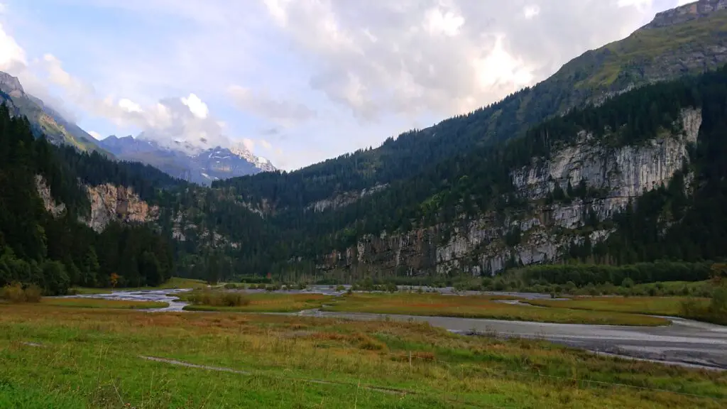
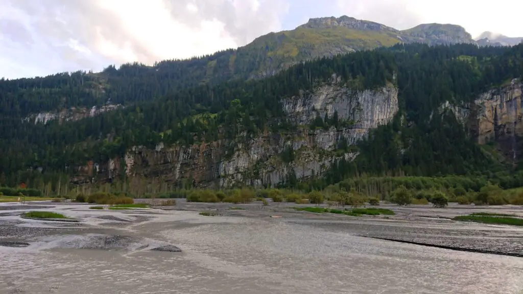
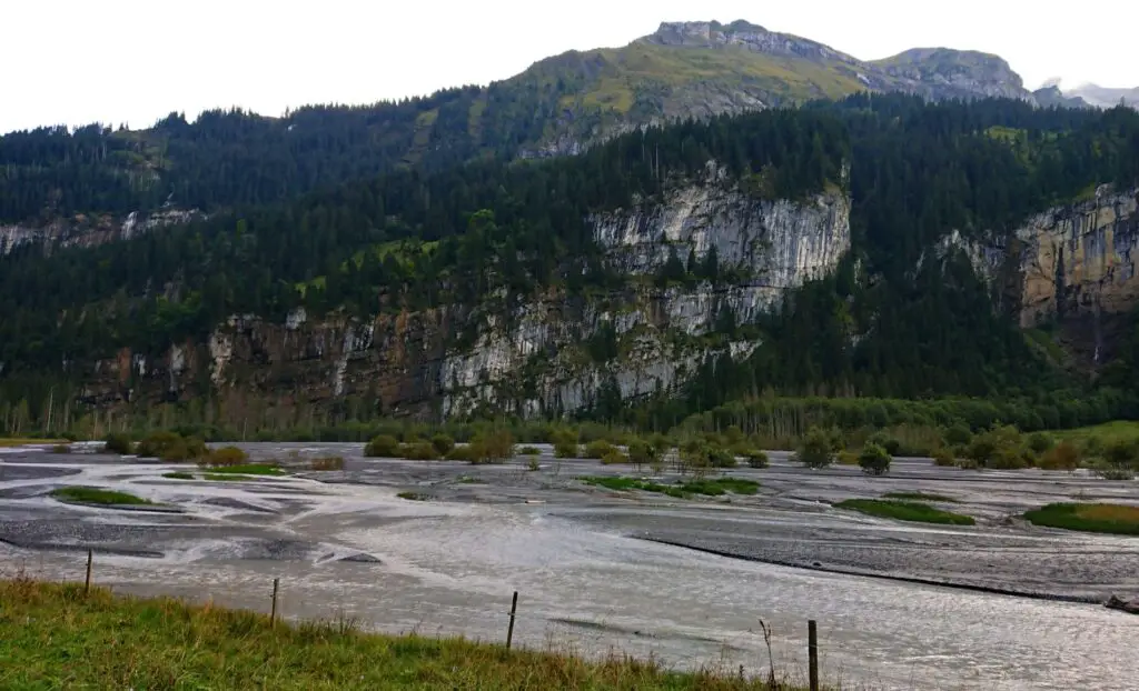
You can enjoy the view of the beautiful waterfalls and romantic mountain streams, during which the post bus horns the typical “Tüütaaatooo post bus” at least 10 times. Isn’t that a first real highlight?
More information and special deals on the official Postbus website .
It is astonishing that the region in the Bernese Oberland is especially known for «Blausee Schweiz» and Oeschinensee, if there are such beauties. A hike to the Griesalp is also very worthwhile. But today we take the post bus.
Arrived on the Griesalp, there are opportunities to eat (restaurants and local shops). We want to go straight on, because we still have 26km and 3100 meters of altitude to go. You can also do this wonderful hike in two stages with an overnight stay at the Blüemlisalphütte. By the way, the route Griesalp to Kandersteg is part of the Via Alpina Switzerland.
In the direction of Bundalp
You start fully packed in the direction of Bundalp (approx. 1 hour). On this beautiful day there are some people out and about and you are seldom alone. Nevertheless, the hike is definitely worth it!
The first 20 minutes you go through a beautiful spruce and red fir forest, as you are still in the subalpine zone. You see blueberry bushes, ferns and wood cranesbills relatively often due to the acidic soil. A nice start to this «Via Alpina», but it gets even better.
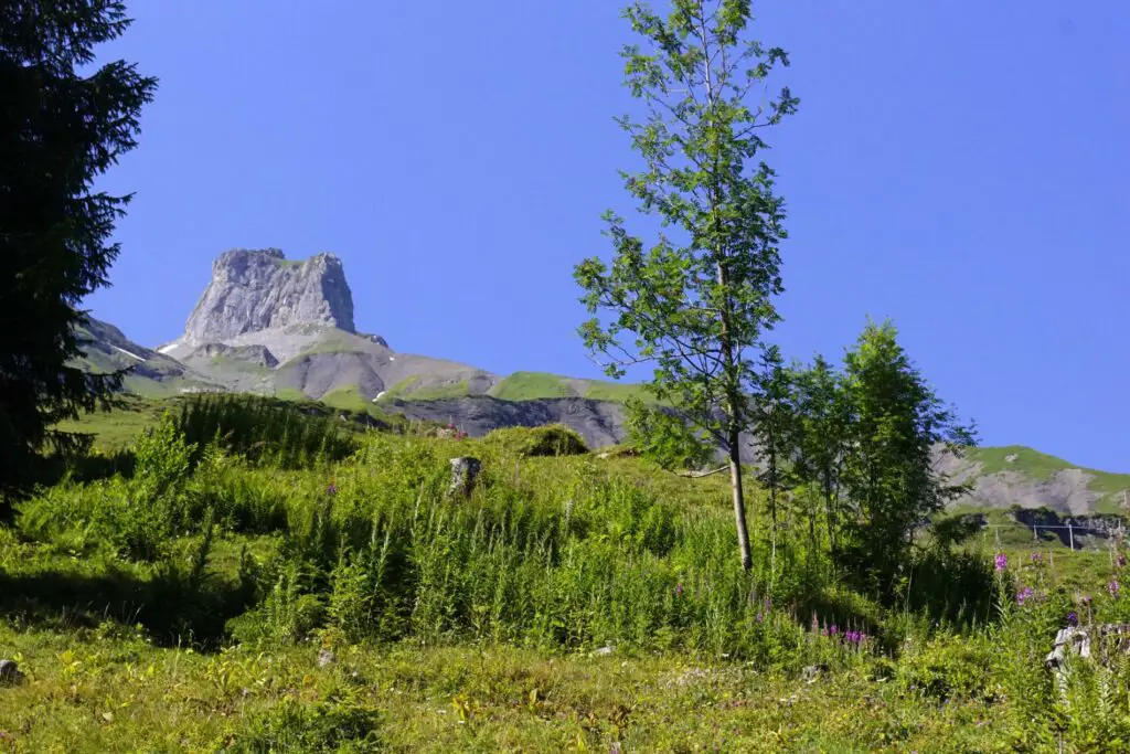
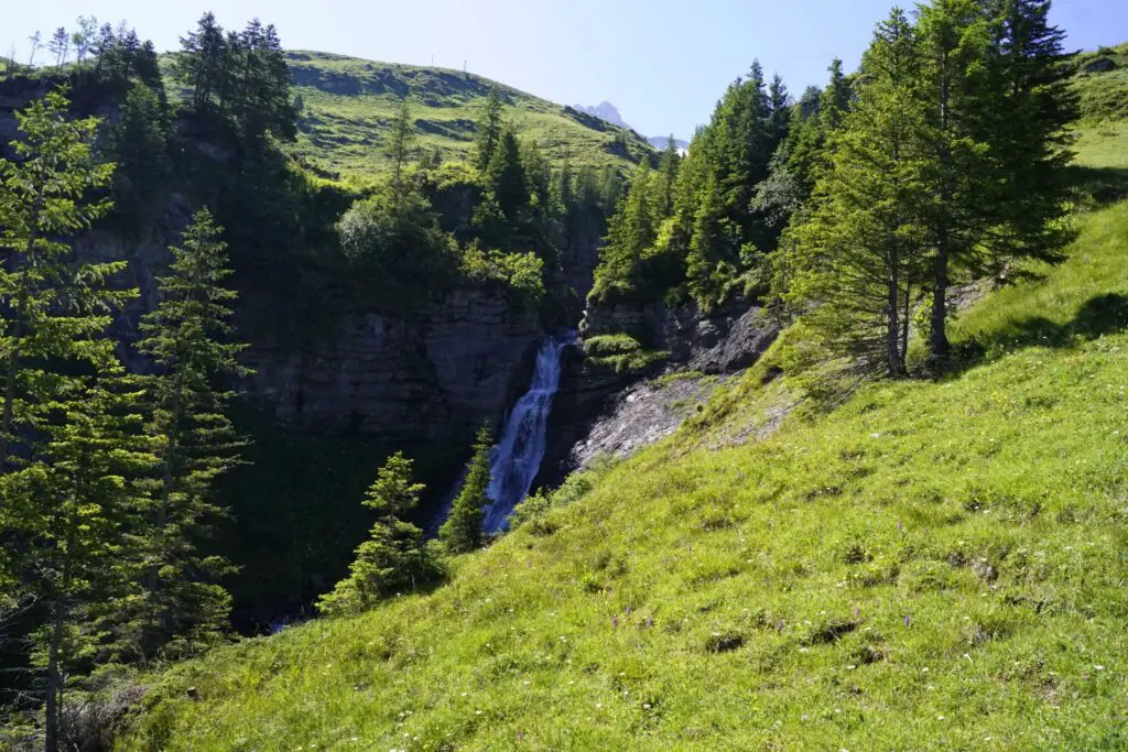
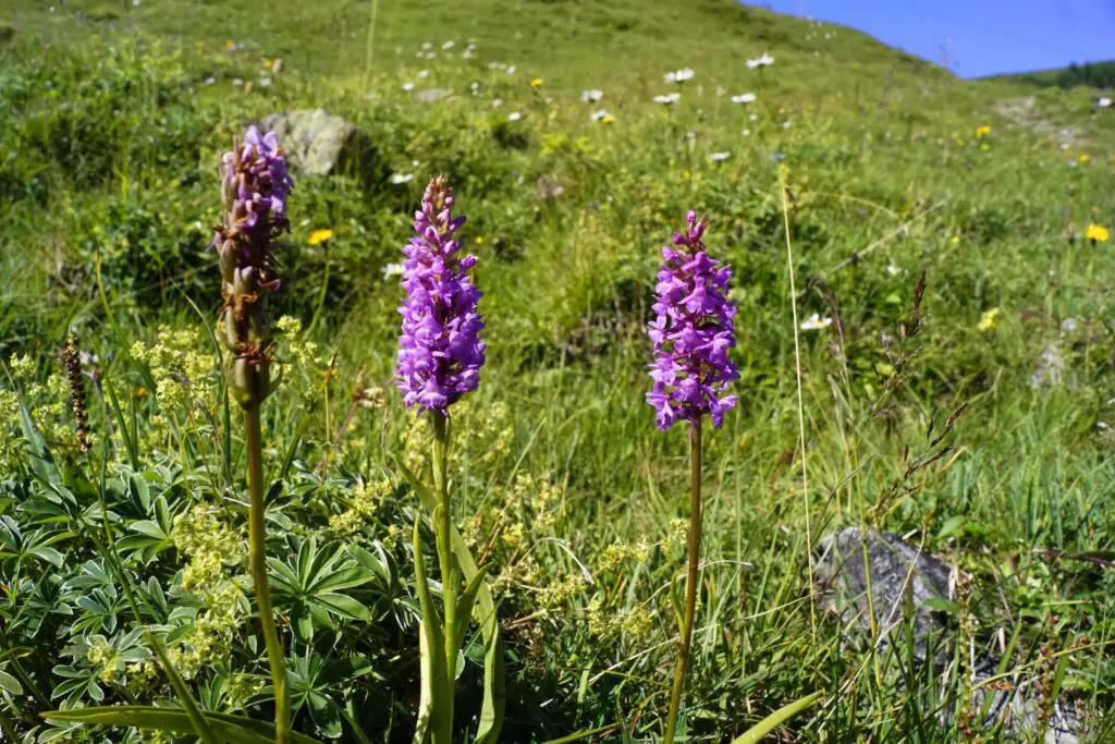
You pass a mountain stream, beautiful orchids (male orchid) and many other alpine flowers.
You will even see carts . The water runs into the rock and then into the karst. A karst is an underwater system.
Arrived at the Bundalp, you have made the first 200 meters in altitude. You can sit comfortably in the restaurant or hike straight on. There are even wonderful cheeses to buy! We still supplied ourselves with 200 grams for the later steep climb =)
Fun fact: do you always wonder what places are nearby? The air line to Interlaken is 17 kilometers, to Grindelwald 22 kilometers.
Along the heart towards the Blüemlisalphütte
Do you also see the heart in the photo?
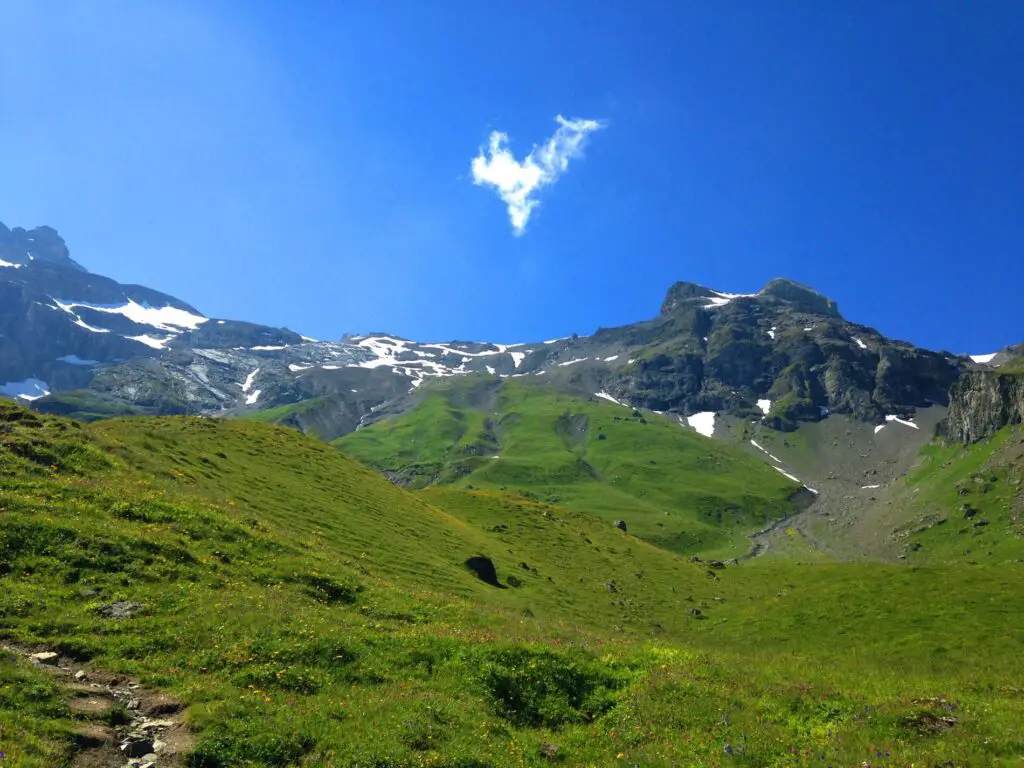
Getting messages of love like this during a hike are motivating. And this motivation is urgently needed. Because now it really starts, it gets steep and we advance into the alpine level with only very sparse vegetation. Thanks to the great view, you have an excuse to take a break 😉 Yes, I used this quite often, I admit that openly and honestly. But it goes forward in the direction of the Blüemlisalphütte.
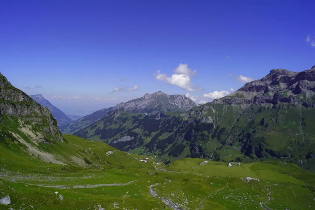
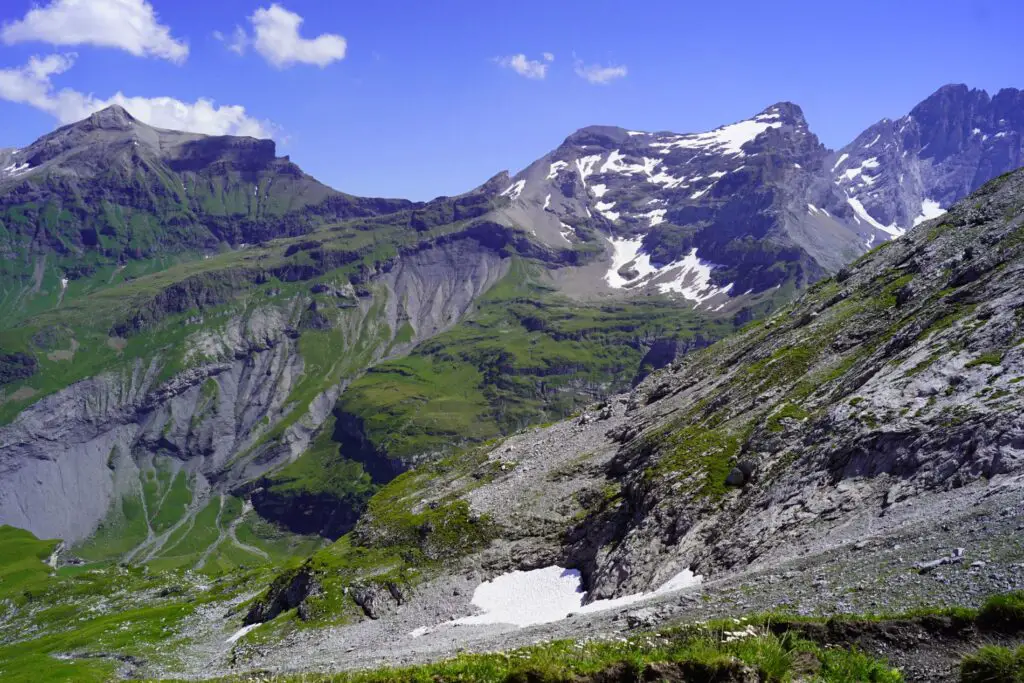
When you look at this photo, do you see this notch on the left? There was definitely a glacier some time ago!
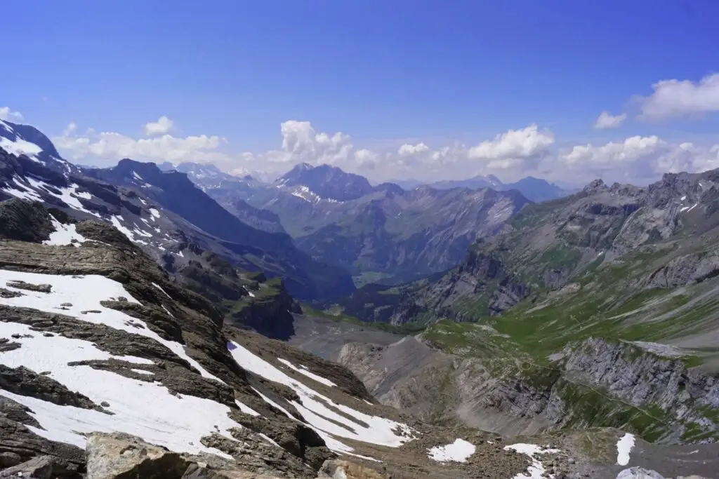
Since the whole valley was covered by a glacier 20,000 years ago, you can still see the moraines nicely if you take a closer look.
The path is getting steeper and steeper, what else do we expect from the «Via Alpina» ?! But it works great at a slow pace! It is important to allow enough time for the hike, especially if you do it in one day. After around 1000 meters of altitude you are at 2600 meters and just before the middle goal: the SAC hut Blüemlisalp
But first there are still around 200 meters of altitude to be overcome in stairs.
Panoramic view from the Blüemlisalp
Woooow finally done! After 4 hours and 30 minutes (including breaks) you have reached the Blüemlisalphütte. Fantastic, stunning! It almost looks a bit like the Andes in Peru. Simply magical. A totally different world. And all of that in Switzerland.
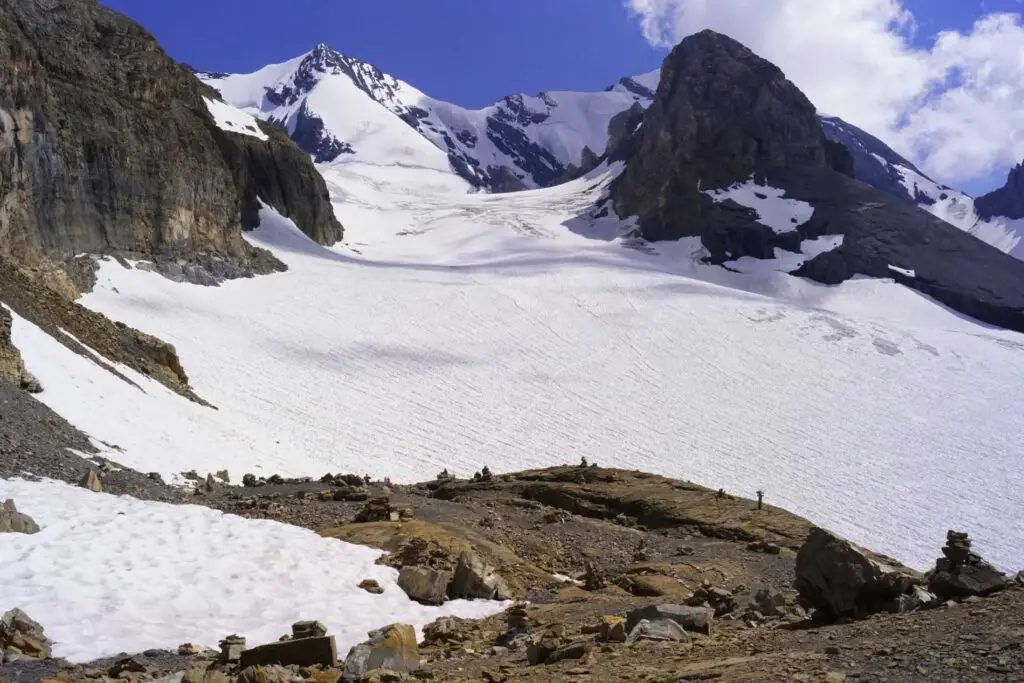
You enjoy the view of the Blüemlisalp glacier, and you can even see Lake Thun and Spiez on a clear day.
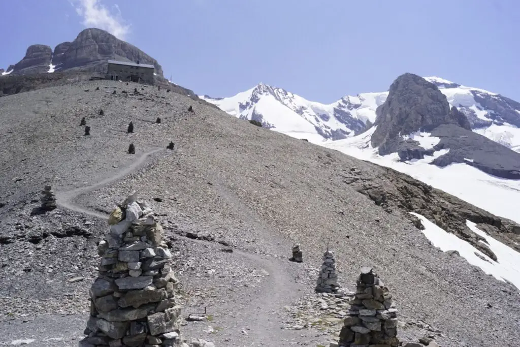
In the Blüemlisalphütte SAC, eat a fine cheese slice and plum flan. Both excellent!
But my really advisable tip: take enough water with you! I drank 3 liters on the ascent. There is no drinking water on the Blüemlisalp. A bottle of 1.5 liters of mineral costs 13 francs. More expensive fun for students and retirees. If you want to spend the night in the SAC hut, you can make a reservation here. Maintenance from around mid-June to the beginning of October (more information here )
In my opinion, the most beautiful place to rest a little away from the people is when you continue hiking about 5 minutes further from the Blüemlisalp glacier to the Blüemlisalp glacier . Here you are alone, you can enjoy the silence of nature and recharge your batteries!
Down to the Oeschinensee
Now we continue with the second part of the 13th stage of the “Via Alpina” and begin the descent towards Lake Oeschinen. Simply magical. You have the most beautiful view of the Blüemlisalp and Rothorn glaciers. The Bernese Oberland is really great!
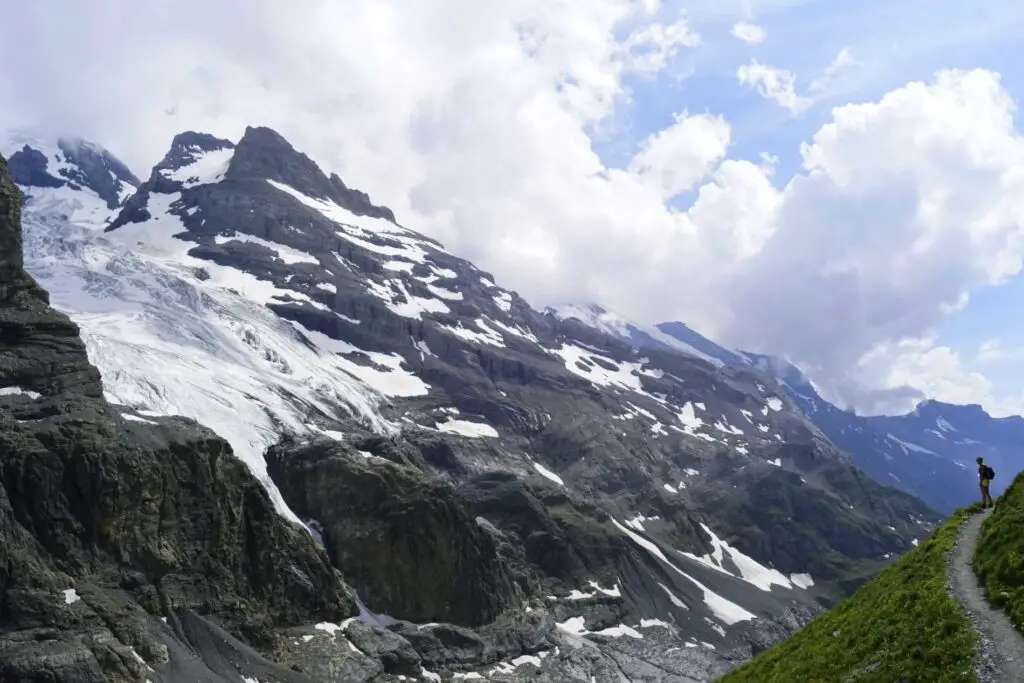
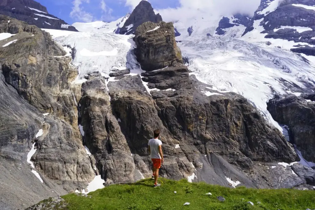
Here, too, you can see the moraines where the glacier once was. These are enormous distances of at least 5 kilometers and a few hundred meters.
You continue walking past the Blüemlialpsee, a lake fed by glacier water.
If you are lucky, you will also see these sweet and warm sheep. We were literally licked off.
In front of the Lake Oeschinen you still have the opportunity to stop at two bars (approx. 2h hike from the Blüemlisalphütte) and you can also buy mountain cheese.
The Lake Oeschinen in the evening sun
You can finally see the spectacular lake shining golden in the evening sun. Just beautiful.
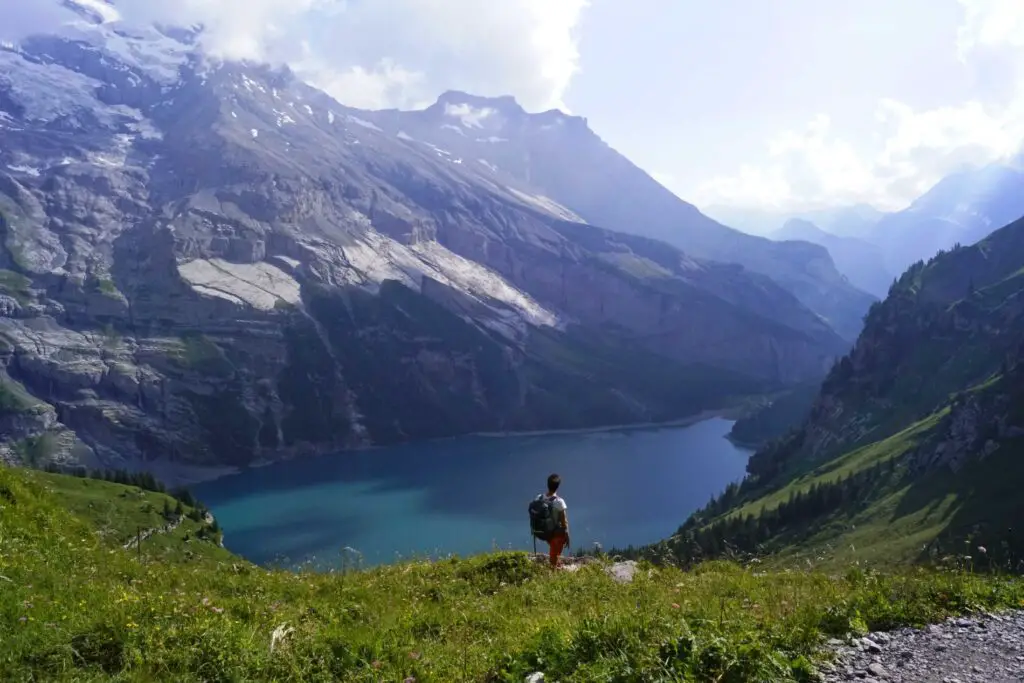
And above all, you can also enjoy the view of the Upper and Lower Oeschinen Glaciers and the Doldenhorn and Fründen Glaciers. After a good 8 hours (including breaks) you will arrive at the Berghotel Oeschinensee.
Since the cable cars unfortunately no longer run here, we still have to hike for around 1 hour to Kandersteg . The last descent is either at 5 p.m. or 6 p.m., depending on the season.
Admittedly, we were already pretty exhausted and the last hour was more of a torture for us than to enjoy. Although the landscape would be breathtaking as you walk through moraines where forest has already formed.
Conclusion of the Lake Oeschinen hike
A wonderful «Via Alpina» hike from Griesalp to the Blüemlisalphütte, the Oeschinensee to Kandersteg, which I can recommend to everyone. Doing the hike in one day is very challenging, so I recommend stopping at the Blüemlisalphütte SAC for the night if you wish. Please note that an early reservation is necessary to sleep, especially on the weekends. By the way, there is more to learn about the Swiss Alps here.

